
By Ivan Kesic
Iran's space program has long been associated with the dramatic milestones of rocket launches and satellite deployments, but a quieter and equally consequential transformation is now underway in the downstream segment of the industry.
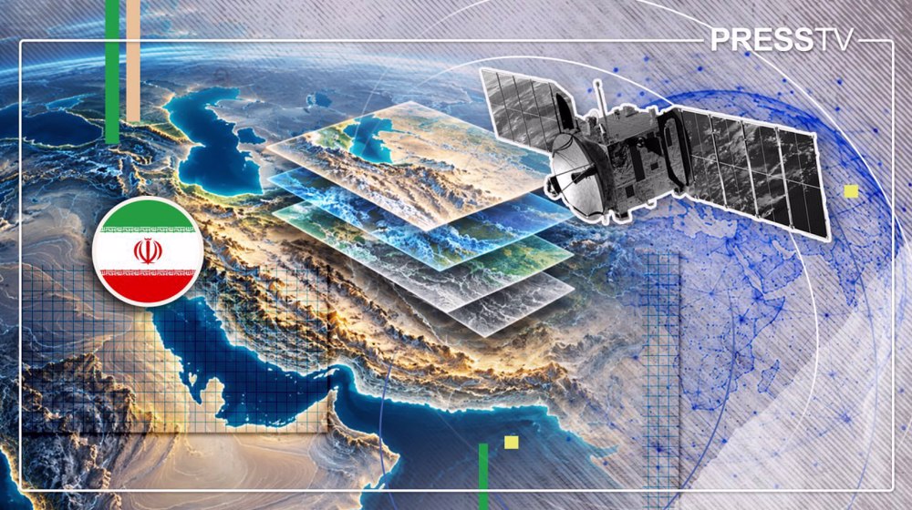
The Iranian Space Research Center (ISRC) has developed Iran Zamin, a domestic satellite-mapping and Earth-observation platform that its developers describe as an Iranian counterpart to Google Earth, alongside Raz, a national remote-sensing platform for professional users.
Together, these systems represent a deliberate shift from simply placing hardware in orbit toward converting the resulting data into practical services for government agencies, researchers, businesses and ordinary citizens.
As access to foreign satellite-mapping services faces periodic restrictions, these indigenous platforms are being positioned as strategic infrastructure for a self-reliant space economy.
What Iran Zamin is designed to do
Iran Zamin is not intended merely to reproduce the visual experience of a virtual globe, although that is the most familiar point of comparison for general audiences.
Iranian officials describe it as a comprehensive domestic infrastructure for collecting, archiving, displaying and processing geospatial information drawn from Iranian satellites.
The platform is being developed in two distinct editions that serve different categories of users.
The public version is designed to offer capabilities comparable to general satellite-map services, giving ordinary users the ability to explore geographic information and access satellite imagery in an accessible interface.
The commercial or specialized edition is equipped with more advanced tools for processing satellite imagery and producing analytical outputs, making it suitable for professional applications in sectors such as agriculture, urban management and environmental monitoring.
This dual-track approach reflects a recognition that a national geospatial platform must serve both broad public accessibility and specialized technical demand.
Raz: The professional remote-sensing platform
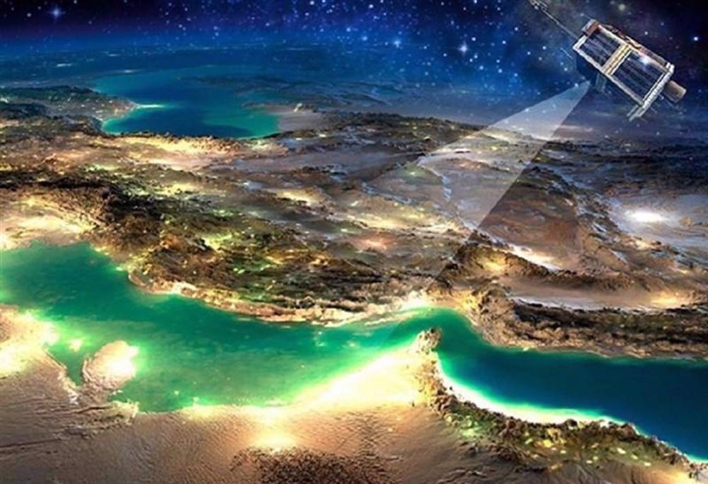
Raz, formally titled Rasad Ettelaat Zamin or Earth Information Monitoring, occupies a complementary position within Iran's emerging Earth-observation ecosystem.
It functions as a national remote-sensing platform and geospatial portal through which users can search, view, order and receive satellite imagery and remote-sensing products.
The platform provides access to both optical and radar imagery and incorporates tools for spatial processing, including image enhancement, geometric correction, image mosaicking and land parcelization.
Researchers and academics can also utilize data from Raz to develop artificial intelligence (AI) algorithms, making the platform a resource for scientific advancement as well as operational applications.
While Iran Zamin is oriented toward the user-facing experience of viewing and exploring spatial information, Raz concentrates on professional access to imagery and the technical processing functions that turn raw satellite data into usable products.
Strategic importance of domestic geospatial infrastructure
The motivation behind developing these platforms extends well beyond technical convenience.
Iranian officials have explicitly cited the periodic interruptions and limitations affecting access to foreign services such as Google Earth as a primary driver for creating a domestic alternative.
Satellite imagery constitutes a strategically significant body of geospatial data, and maintaining domestic control over its storage, processing and distribution reduces dependence on foreign services and allows Iranian institutions to establish their own standards for access and analysis.
This aligns with broader national objectives of data security, saving foreign currency and building independent space-based digital infrastructure.
The development of Iran Zamin and Raz is therefore not simply a software project but an assertion of technological sovereignty in a domain where external dependence carries inherent risks.
Data foundation: Khayyam and future satellite sources
The practical utility of Iran Zamin depends fundamentally on the availability of imagery and data to populate it.
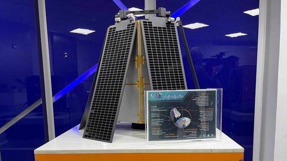
The first major domestic source identified in Iranian reporting is the Khayyam remote-sensing satellite, which was launched in August 2022 into an orbit of approximately 500 kilometers and is capable of imaging with a nominal resolution of about one meter.
The ISRC maintains a comprehensive archive of Khayyam imagery, and this archive serves as one of the strategic inputs for both Iran Zamin and Raz.
Khayyam's data have already been associated with applications ranging from agricultural monitoring and water-resource management to observing changes in land use, illegal construction, environmental hazards and mining activity.
The infrastructure of these platforms has reportedly been designed to incorporate data from other satellites as well, allowing the system to evolve as Iran's remote-sensing fleet expands.
Future optical and radar satellites, including the Pars series and radar-imaging spacecraft, could significantly broaden the diversity and volume of data available to users.
Role of artificial intelligence and data processing
Artificial intelligence is emerging as a significant layer within Iran's Earth-observation value chain.
Researchers at the ISRC are using domestically developed AI algorithms in several parts of the space-industry pipeline, including image enhancement and super-resolution techniques, as well as error prediction and correction.
The integration of AI into platforms such as Raz allows for automated processing of large volumes of satellite data, improving interpretability and enabling researchers to develop new analytical capabilities.
This does not mean that every displayed image is artificially enhanced, but rather that AI serves as one of several techniques for making vast quantities of satellite data more usable.
The availability of processed data through Raz for algorithm development also creates a feedback loop in which academic research can contribute to the improvement of practical applications.
Space economy strategy and downstream services
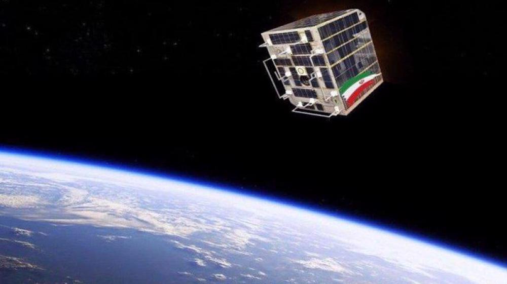
The development of Iran Zamin and Raz reflects a broader strategic pivot within Iran's space program toward what officials describe as the space economy.
The acting head of the ISRC has emphasized that the development of space technology must lead not only to technical progress but also to the provision of practical services and the strengthening of the space economy.
This represents a recognition that satellites are data-generating assets, and their ultimate value lies in the information they provide to industries, government bodies, researchers and commercial users.
To support this transition, the ISRC has also announced plans for a Space Economy Intelligence Platform that will evaluate space projects from the perspective of economic efficiency and feasibility before their implementation.
The objective is to ensure that investments in space infrastructure translate into tangible returns and that the downstream segment of the industry becomes a driver of economic activity.
Resilience and the path forward
The ISRC has demonstrated notable resilience in advancing these projects despite significant challenges.
Following the US-Israeli aggression, officials acknowledged that buildings and equipment suffered damage, but emphasized that the true strength of the organization lies in its committed specialists, who immediately resumed operations and realigned priorities to bring several critical national platforms close to launch.
The technical development of Iran Zamin has been completed and the system is undergoing final evaluations, with a demonstration version prepared for public presentation.
The full operational feature set, including the depth of the imagery archive, update frequency, resolution ranges and analytical tools available in the commercial edition, will be demonstrated after the planned unveiling.
What is already clear is that Iran is building the institutional and technical infrastructure necessary to turn its growing satellite capabilities into continuous, practical services that reach the people and institutions on the ground below.
 This makes it easy to access the Press TV website